
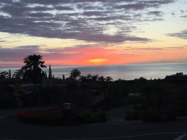
After a fantastic five days on Kauai, we hopped on a one-hour flight to the Big Island of Hawaii. We started in Kona, the city on the perpetually-sunny western coast famous for its coffee, sunsets, and Ironman competition.

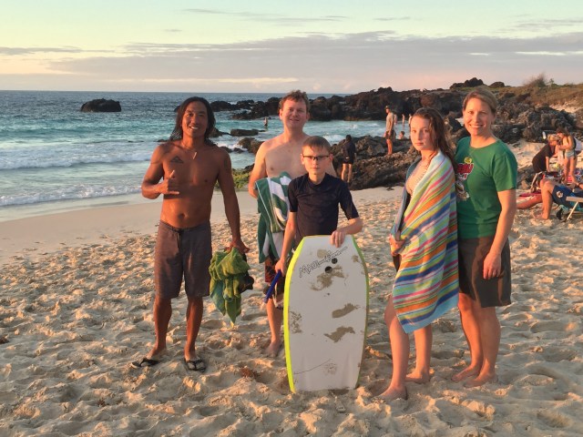
Mark’s youngest brother Marshall moved to Hawaii this summer from Washington state. Though he now lives in Hilo on the Big Island’s rainy eastern coast, he lived in Kona for several years. He drove over to meet us, and we enjoyed a sunset visit to one of his favorite surfing beaches.

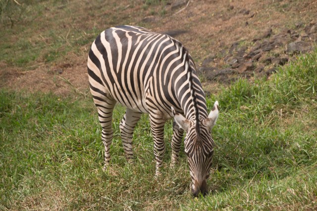
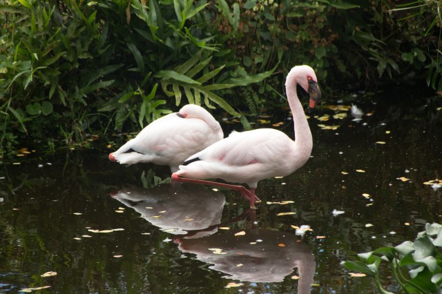
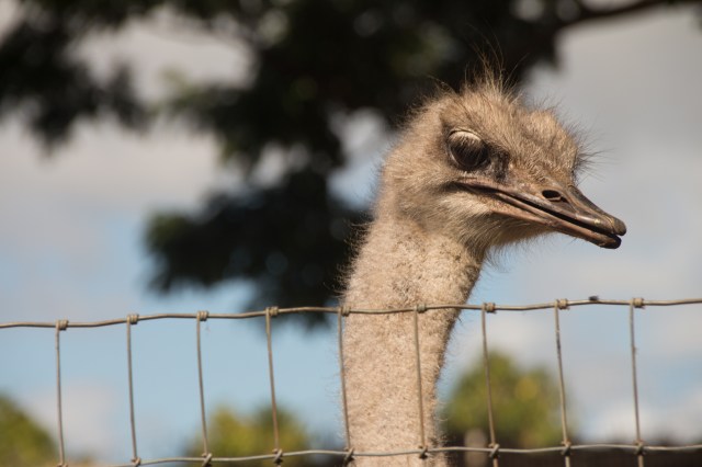
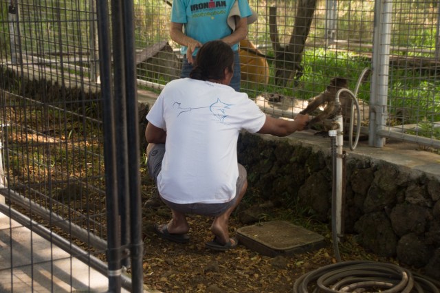
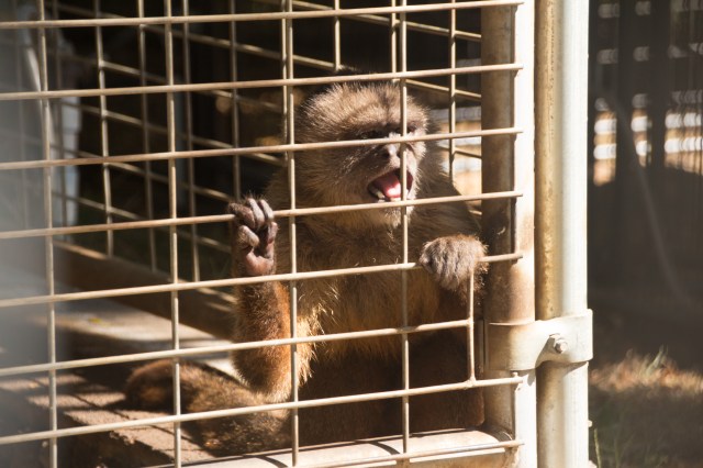
The next day we headed out to a nearby exotic animal rescue, Three Ring Ranch. The caretaker Ann Goody told us about her resident zebra, monkeys, birds, turtles, bison, and other animals. While she spoke she noticed cues from one of the monkeys, then declared that the monkey chose Marshall as his special friend. So Marshall followed Ann’s instructions, greeting the monkey with the appropriate lack of eye contact, handshake, and so on. She said that the monkey will remember Marshall as one of his chosen friends even if he waits a few years to visit again.
After a great weekend in Kona, we drove across the island to Hilo.
In December 2016 we visited Hawaii and rented a house in Vacationland, a community of (surprise!) mostly vacation homes. When Kilauea erupted and the lava started flowing in May of 2018, I quickly learned that Vacationland lay in Lava Zone 1 as designated by the U.S. Geological Survey, making it the most vulnerable area to lava-related annihilation. Unfortunately the lava flowed exactly as USGS predicted, wiping out hundreds of homes. I was surprised to hear that most of those homes had no homeowners’ insurance because the risk of lava damage was so high.
The following map shows the extent of the lava flow, as well as points along our visit. The location of our 2016 rental house is marked with a yellow star.
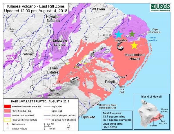
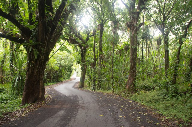
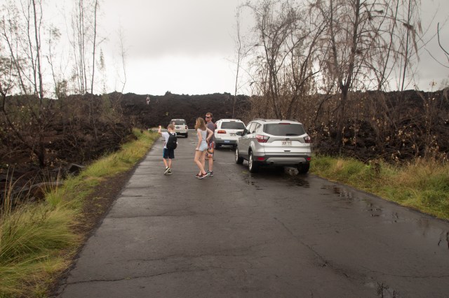
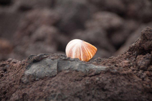
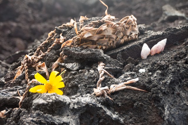
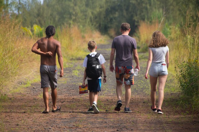
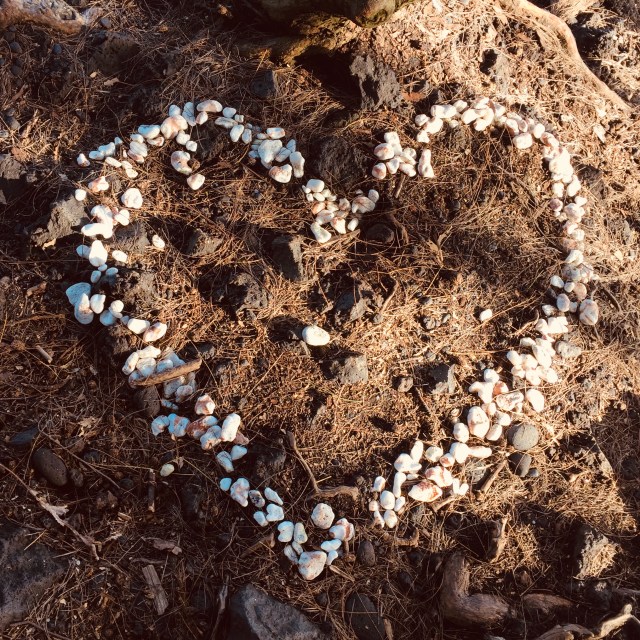
We drove as far as we could down Government Beach Access Road, just to the right of the bright blue star in the photo above. The road ended abruptly at a wall of lava, so we parked and joined our fellow lava tourists already on the rocks. We followed a slightly crushed-down path marked by shells and coral left behind by previous visitors.
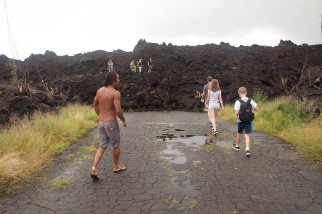
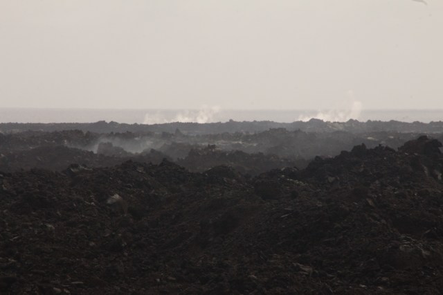
As soon as we climbed up the lava, I swallowed hard and blinked back tears. It was impossible to forget the hundreds of houses entombed under this unfathomable blanket of rock. The house where we celebrated Christmas, the legendary Champagne Pond and Kapoho Tide Pools where we snorkeled. All of it just gone.
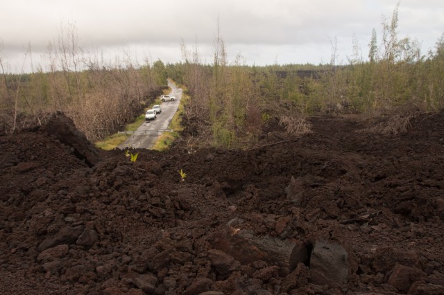
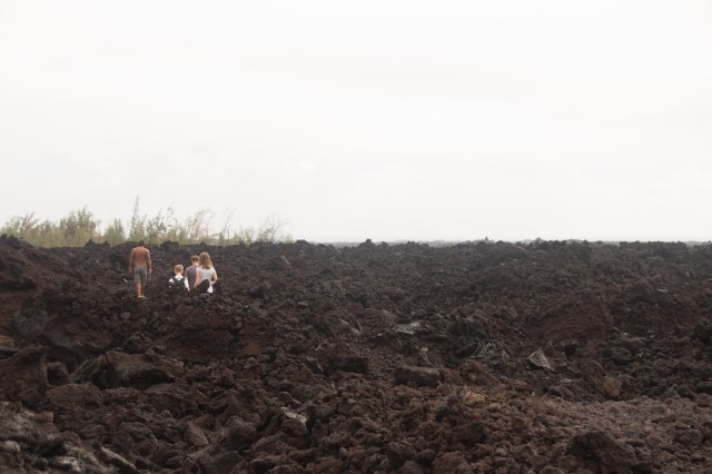


I can’t even begin to explain the power and sheer vastness of the lava field before us. The lava radiated heat as we walked across it. At first I assumed the black surface simply absorbed the sun’s heat, but then I started passing blasts of warm air from below. A physical geographer who worked with the evacuation told us that the lava would stay hot for at least two years.
 So remember that map above? Go ahead, scroll up. We parked at the blue star, then climbed across the tiniest little corner of the lava field to the road to Cape Kumukahi, immediately under the green star. We scrambled for a solid 15-20 minutes each way across that tiny corner of the lava field. I can’t even comprehend just how much hardened lava came from the Kilauea eruption, and how little of it we could see from our vantage point.
Steam vents in the distance perked away.
We headed back to the car and drove around to the southern edge of the lava field for our next stop. Along the way we drove over metal plates on the road just outside Leilani Estates, another subdivision affected by the lava flow. Before the lava started flowing in May 2018, cracks and steam in the road appeared right before fissures in Leilani Estates opened up. Road crews quickly patched up the cracks with those metal plates, and steam vents still bubble away along the side of the road even now. Crazy.
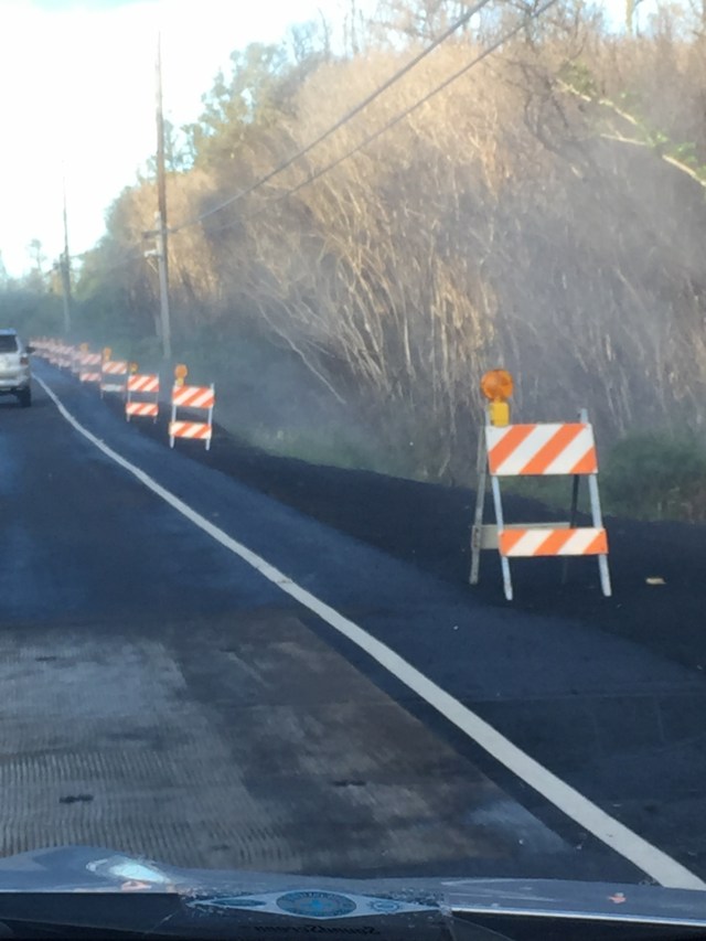
While the road outside Leilani Estates “only” cracked, other roads were completely covered by lava. As soon as the lava cooled enough for road crews to get out there, the crews poured asphalt on the lava and reopened the road. We drove over those new roads on our way to our next stop, Isaac Hale Park.


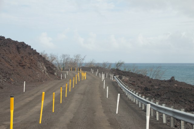
We arrived at Isaac Hale Park, a state park that both survived the lava flow and experience some incredible changes. The park’s boat ramp used to lead to open water, as boat ramps do. The lava flow cut off the boat ramp from the ocean, so now that ramp leads to a pool of water completely isolated from the ocean. Signs warn swimmers to stay out of the water because the lack of ocean access means that the stagnant water harbors high bacteria counts. People splashed away anyway. Ew.

In addition to a new, bacteria-filled swimming hole, the lava created a new black sand beach.


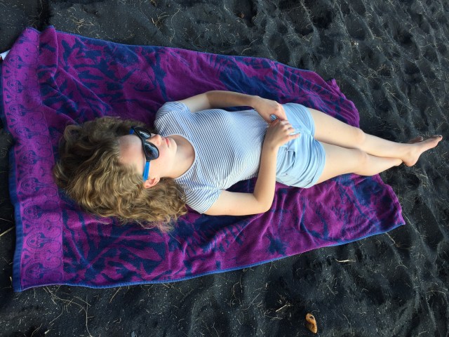
After enjoying the rather aggressive surf there, we headed out for another, older black sand beach, Kehena. Marshall warned us in advance of its clothing-optional reputation. Hence the from-a-distance or thisclose photos that follow. Because, you know. Nekkid people.


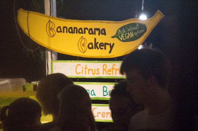
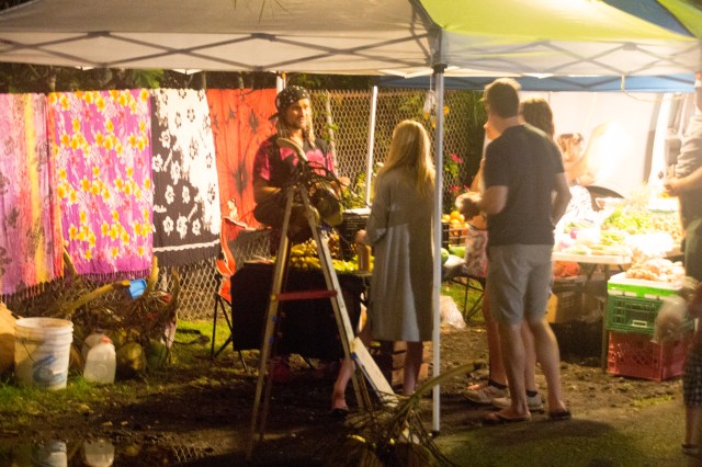
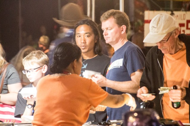
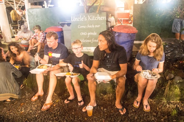
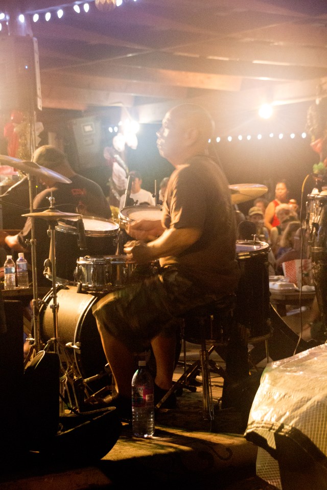
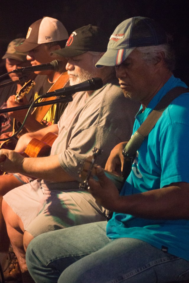
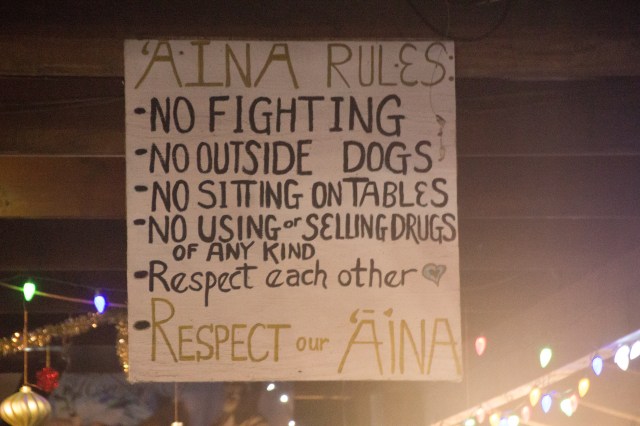
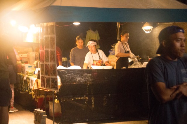
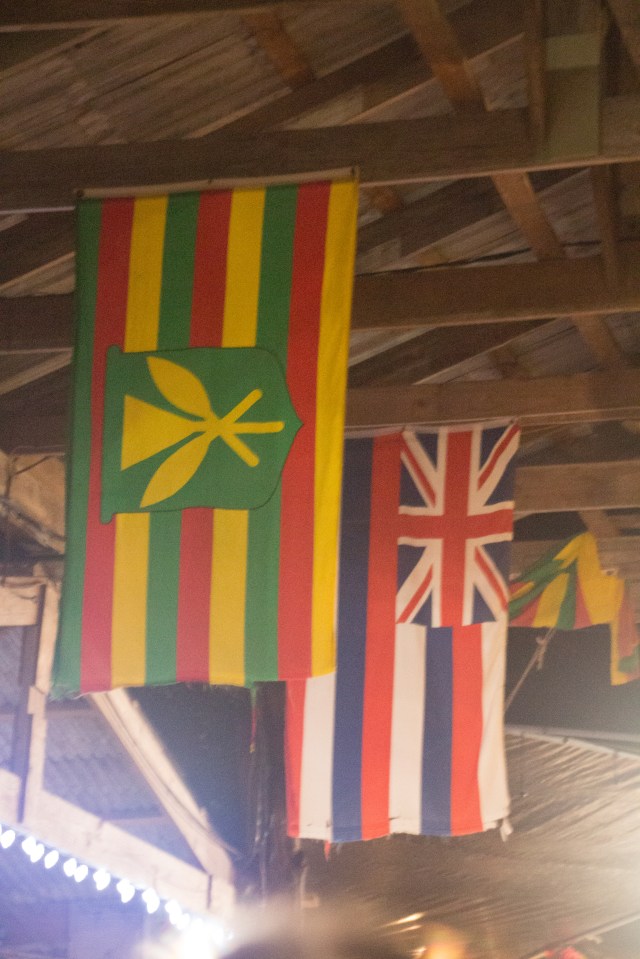
 Our last night, Marshall took us to a famous weekly night market in Kalapana called Uncle Robert’s. With food, crafts for sale, and music, it reminded me of a Hawaiian mashup of an Asian street/night market and a weekend street market in the US. The weekly market takes place every Wednesday, and it’s the social focal point for the eastern half of the Big Island. Most people within an hour’s drive come several times per month.


And that’s a wrap on Hawaii 2018!
